News
Back HomeChina’s First Alpine UAV Radar Measuring System Put into Use
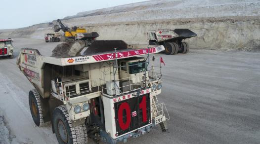
The JOUAV CW-25E unmanned aerial vehicle (UAV), operated by technicians of the Baori Xile open-air coal mine under Yanbao Energy Co., Ltd., a subsidiary of China Energy, recently completed technical indicator certification and acceptance measurement test under the condition of strong winds and extreme cold. The Baori Xile became China’s first coal mine in high-altitude, cold areas to adopt the UAV radar measuring system.
Despite strong winds and the temperature of minus 35 degrees Celsius, the JOUAV CW-25E equipped with the country’s first high-accuracy radar mapping system flew twice for one hour, with a radar range of 1,850 meters, accomplishing the task to measure the coal mine covering an area of 30 square kilometers.
Both the hardware and software of the UAV measuring system are the latest high-tech products, making the system able to accomplish various mine survey tasks, including mine topographic mapping, mining field acceptance measurement, mining engineering plan mapping, solid-view mine 3D model building, 3D mining design, mine vegetation display, and coal stockyard inventorying. The launch of the system marked a historic upgrade of mine measurement in high-altitude, frigid regions and turned over a new leaf in the development of mine measuring systems.